Maps

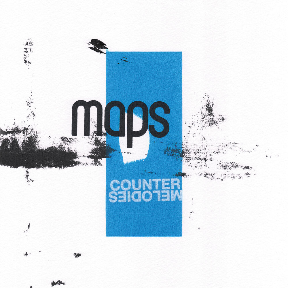
Maps
۲٫۴ هزار طرفدار
جدیدترینها
آخرین انتشارها

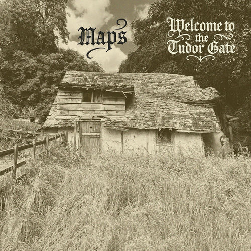
Welcome To The Tudor Gate
آخرین انتشار • آلبوم
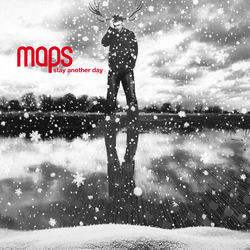
Stay Another Day
۲۰۲۴ • تکآهنگ

Counter Continuo
۲۰۲۴ • EP

Transmission (Plaid Remix)
۲۰۲۳ • تکآهنگ


طرفداران اینها را هم گوش میدهند








درباره
۲٬۴۳۰ طرفدار
۴۵ انتشار • فعال از ۲۰۰۷
In cartography, a map is a representation or abstraction of geographic reality. Maps are used for a wide range of purposes, including navigation, scientific research, governance, and warfare. A common use is route planning, which enables users to find their way to their destination. Specialized maps called charts are used for nautical navigation (nautical charts) and aviation (aeronautical charts). Scientists use maps to organize spatial data in fields such as geology, meteorology, seismology and demographics. Governments use maps for administrative functions such as census, electoral districts, property taxation, dispatching police, and coordinating disaster relief. Military and security organizations use maps for mission planning, surveillance, border management, logistics, and intelligence analysis. One of the earliest preserved maps is from the Akkadian Empire (in modern Iraq) inscribed on a clay tablet and dated to 2300 BCE. By the 5th century BCE, Greeks were drawing maps of their known world, encompassing the Mediterranean Sea and most of Europe, North Africa, and the Middle East. Maps were important tools in the Age of Discovery, when mariners used them to explore new lands. Applications of cartography expanded in the late 17th century with the development of thematic maps, which portrayed specific kinds of data – such as rainfall or population density – rather than focusing on geographic features such as rivers, mountains, and cities. The rapid expansion of road networks and mass transit systems in the 20th century created a market for mass-produced maps aimed at the traveling public. The development of computer cartography and geographic information systems in the mid-20th century enabled the storage of vast amounts of geographic data, which could be dynamically displayed and analyzed. Unlike paper maps, interactive maps let users zoom, pan, and choose which data to view.
ادامهی بیوگرافی
In cartography, a map is a representation or abstraction of geographic reality. Maps are used for a wide range of purposes, including navigation, scientific research, governance, and warfare. A common use is route planning, which enables users to find their way to their destination. Specialized maps called charts are used for nautical navigation (nautical charts) and aviation (aeronautical charts). Scientists use maps to organize spatial data in fields such as geology, meteorology, seismology and demographics. Governments use maps for administrative functions such as census, electoral districts, property taxation, dispatching police, and coordinating disaster relief. Military and security organizations use maps for mission planning, surveillance, border management, logistics, and intelligence analysis. One of the earliest preserved maps is from the Akkadian Empire (in modern Iraq) inscribed on a clay tablet and dated to 2300 BCE. By the 5th century BCE, Greeks were drawing maps of their known world, encompassing the Mediterranean Sea and most of Europe, North Africa, and the Middle East. Maps were important tools in the Age of Discovery, when mariners used them to explore new lands. Applications of cartography expanded in the late 17th century with the development of thematic maps, which portrayed specific kinds of data – such as rainfall or population density – rather than focusing on geographic features such as rivers, mountains, and cities. The rapid expansion of road networks and mass transit systems in the 20th century created a market for mass-produced maps aimed at the traveling public. The development of computer cartography and geographic information systems in the mid-20th century enabled the storage of vast amounts of geographic data, which could be dynamically displayed and analyzed. Unlike paper maps, interactive maps let users zoom, pan, and choose which data to view.
منبع: ویکیپدیا